


1158 Virchow | 1158 Wierzchowo
1876 — 1919
National Museum in Szczecin
Part of the collection: Archival maps
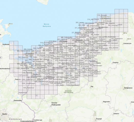
The map is an appendix to the index of toponyms, which was developed as part of the project initiated by Pomeranian linguist, Dr Robert Holsten (1862-1954), with the aim to collect and compile contemporary folk and archive names of natural and anthropogenic physiographic objects, as well as inhabited and uninhabited places collected with local queries. The Meßtischblatt topographic maps at a scale of 1:25 000 are characterised by a very high level of detail and accuracy in mapping the topography of the terrain.
The 215 Wobesde I map was published in 1889, and reprinted in 1919. It covers the areas surrounding Wobesde, Kreis Stolp, Reg. Bez. Köslin, Prov. Pommern, today Objazda, Słupsk District, Pomeranian Voivodeship, Poland. It is the only surviving copy of the pre-war topographic map marked with the sheet number 215, containing data on the location of objects and their names in the Flurnamen Sammlung archive. The printed map features a hand-drawn layer with the numbers of physiographic objects connected to the localities of Rowe (today: Rowy); Schönwalde (today: Dębina); Wobesde; Wusseken (today: Osieki); Wendisch Buckow (today: Bukowa); Kl. Garde (today: Gardna Mała).
Author / creator
Object type
Messtischblatt (map)
Technique
druk jednobarwny; czarny, manual script
Material
fabric, paper
Origin / acquisition method
acquisition
Creation time / dating
Creation / finding place
Owner
Muzeum Narodowe w Szczecinie
Identification number
Location / status
1876 — 1919
National Museum in Szczecin

1875 — 1919
National Museum in Szczecin

1889 — 1891
National Museum in Szczecin
DISCOVER this TOPIC
National Museum in Szczecin
DISCOVER this PATH
Educational path