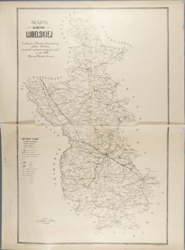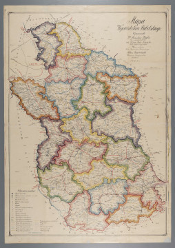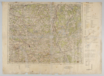
Map of Lublin Governorate
1915
National Museum in Lublin
Part of the collection: Maps of Lublin and the Lublin Region
The map was created during the First World War, during the short Austrian rule in Lublin. At that time, Lublin County bordered on the following counties: Puławy, Radzynski, Chełmski, Krasnostawski and Kraśnicki. It was inhabited by over 1.5 million people, mainly Polish Catholics. Jews and other nationalities were a minority. The area of the poviat of Lublin covered 16,831.7 km².
The map of the district from around 1915 is black and white, but rich in topographical details of the area shown. It is very clear and legible. Due to its small size as for a map, it was practical, could be taken on a journey and used to move in the field. It could have served Austrian troops, as it is described in German. It shows the most important towns of the county, roads and railway connections in detail.
The plan includes various types of roads: paved and unpaved, arterial roads, local roads, railway lines, and stations. The most important marked objects of public use and local administration are: municipal office and administration, police stations, post office, churches, health centres, animal clinics and slaughterhouses.
Author / creator
Dimensions
cały obiekt: height: 29,3 cm, width: 30,3 cm
Object type
map
Technique
Material
paper
Creation time / dating
Creation / finding place
Owner
The National Museum in Lublin
Identification number
Location / status

1915
National Museum in Lublin

1924
National Museum in Lublin

1936
National Museum in Lublin
DISCOVER this TOPIC
Castle Museum in Łańcut
DISCOVER this PATH
Educational path