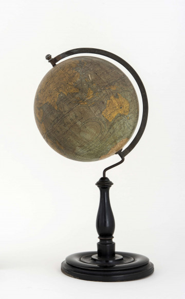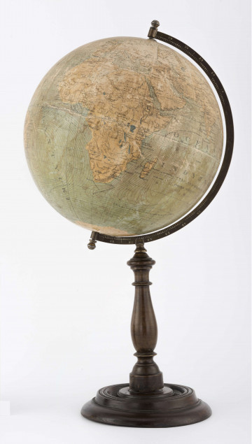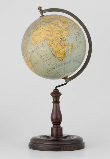
Physical globe of the Earth
1920
National Museum in Lublin
Part of the collection: Polish globes of Earth
The Earth physical globe, dated after 1924 and before 1931, a scale of 1:50 million, is an extremely rare example. It was purchased for the collection of the Wincenty Pola Manor in 2012. It was not until the beginning of 2018, when the catalogue of globes for the exhibition was being prepared, that it was possible to confirm that this was the first edition with a map by Professor Eugeniusz Romer. It was developed at the Cartographic Institute of Professor Franciszek Romer, and crafted at the ‘Książnica-Atlas’ SA Cartographic Department in Lviv and published by POMOC SZKOLNA Sp. z o.o. in Warsaw. It is the only globe published by ‘Książnica-Atlas’ with a map by E. Romer that has no title, no political boundaries marked and no year of creation given. Assigning a date is often a detective work requiring knowledge of the history of cartography. The first marginal date – ‘after 1924’ – is derived from two facts: at that time, the E. Romer Cartographic Institute was already operating under that name and the name Leningrad for Saint Petersburg was in force since 1924. The second date – ‘before 1931’ – is justified by the way of presenting Antarctica on the map, which is almost entirely covered in white, identically as on the maps in E. Romer’s atlas from 1931.
The colour scale on the globe is yet neither well selected nor rich, the print accuracy and sharpness are worse, and the fonts are neither modern nor delicate. The arm on which the ball is mounted is referred to as the ‘Lech’ model for E. Romer's globes. The subsequent editions of the Lviv ‘Książnica-Atlas’ globes from 1934, 1935 and 1938 differ significantly from the described object also as far as the type of base is considered. Here we have a massive wooden base, one 9 cm higher than those in subsequent editions. In 2019, a private collector from Elbląg purchased a second copy of this globe at an auction in Krakow.
Grażyna Połuszejko
Author / creator
Dimensions
cały obiekt: width: 55 cm, diameter: 26 cm
Object type
globe
Technique
carpentry techniques
Material
paper, brass, wood
Creation time / dating
Creation / finding place
Owner
The National Museum in Lublin
Identification number
Location / status

1920
National Museum in Lublin

1920 — 1927
National Museum in Lublin

1921 — 1924
National Museum in Lublin
DISCOVER this TOPIC
National Museum in Szczecin
DISCOVER this PATH
Educational path