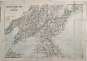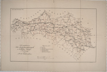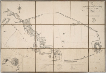
Karte der Südliche Mandschurei mit Nord-Korea
1904
Castle Museum in Łańcut
Part of the collection: Cartography
The 19th century was only a time of the industrial revolution, scientific and technical progress, and development of the state administration, but also the rise of people travelling the continent and beyond it. In the so-called “Century of Steam”, there was a rapid increase in the population of cities. The first cities with a population of a million appeared in Europe. This resulted in greater demand for detailed city plans and larger areas included as territorial administrative units. The presented map is a fragment of the area of northern India. Part of the map covers the Bhagalpur district (only its central and western parts), as well as areas bordering Nepal, Tibet, and a fragment of Bangladesh. The map was compiled and published by India’s Surveyor General, Sydney Gerald Burrard, who held the post from 1911 to 1919. It is a supplement to the 1918 map, published in 1926. India was a British protectorate until 1947. The map is foldable, but it does not have a binding or case. The Counts Potocki – like most Polish aristocrats – travelled extensively, hence a large collection of plans and maps has survived. Łukasz Chrobak
Author / creator
Object type
Cartography
Technique
flat print
Material
paper
Creation time / dating
Creation / finding place
Owner
Castle Museum in Łańcut
Identification number
Location / status

1904
Castle Museum in Łańcut

20th century
Castle Museum in Łańcut

1826
Castle Museum in Łańcut
DISCOVER this TOPIC
National Museum in Szczecin
DISCOVER this PATH
Educational path