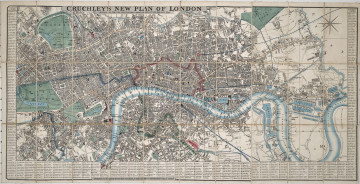
New Plan of London
1845
Castle Museum in Łańcut
Part of the collection: Cartography
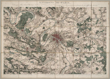
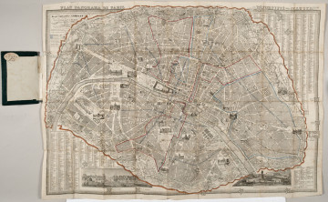
The 19th century was only a time of the industrial revolution, scientific and technical progress, and development of the state administration, but also the rise of people travelling the continent and beyond it. In the so-called “Century of Steam”, there was a rapid increase in the population of cities. The first cities with a population of a million appeared in Europe. This resulted in greater demand for detailed city plans. In maps such as the city plan of Paris presented here, the most important locations have been marked – office buildings and hospitals. The plan omits the suburbs of Paris, and focuses mainly on the so-called City Centre. The map was most likely published by a publishing house, which has run bookshops since 1801 – “Galignani” is the name of the back of the city plan. The map is foldable, bound in a hard fabric cover. The Potocki library ex libris and the place of purchase can be found on the back. The Counts Potocki – like most Polish aristocrats – travelled extensively, hence a large collection of plans and maps has survived. Łukasz Chrobak
Author / creator
Object type
Cartography
Technique
flat print
Material
paper
Creation time / dating
Creation / finding place
Owner
Castle Museum in Łańcut
Identification number
Location / status

1845
Castle Museum in Łańcut

1850
Castle Museum in Łańcut

1858
Castle Museum in Łańcut
DISCOVER this TOPIC
Museum of King Jan III's Palace at Wilanów
DISCOVER this PATH
Educational path