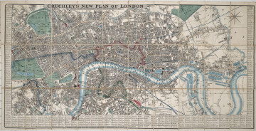
New Plan of London
1845
Castle Museum in Łańcut
Part of the collection: Cartography
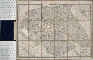
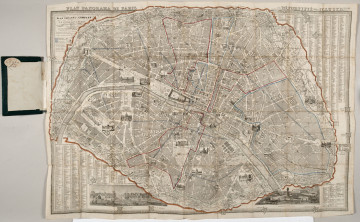
This map presents not only Paris, but also its surroundings. Marked on the map are palaces, churches, parks and gardens, as well as roads and railway lines. The map encompasses areas 50 km from Paris, dates back to 1850, and was published by known cartography publisher Andriveau Goujon. Various types of maps were used in its creation: military, hunting, etc. Particularly noteworthy are the gardens of Versailles, which have been included in the map. The collection of the Łańcut Museum includes maps which are souvenirs from the numerous travels of the Counts Potocki. This is one of those cases. The map is foldable and stored in a cardboard case, which bears the old signature of the Potocki library. The edge of the case bears a golden inscription, okolice Paryża [Paris surroundings]. The map was purchased in Charles Simonneau’s map shop in Paris. The exhibit does not have its own legend. The ex libris of the castle library is visible on the reverse of the map. Łukasz Chrobak
Author / creator
Object type
Cartography
Technique
flat print
Material
paper
Creation time / dating
Creation / finding place
Owner
Castle Museum in Łańcut
Identification number
Location / status

1845
Castle Museum in Łańcut

19th (?) century
Castle Museum in Łańcut

1858
Castle Museum in Łańcut
DISCOVER this TOPIC
Castle Museum in Łańcut
DISCOVER this PATH
Educational path