website content

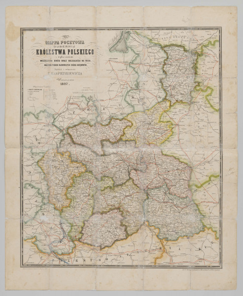
A postal map of the Governorates of the Kingdom of Poland with an index and list of all roads and distances to them: arranged according to the latest official sources

Information about the object

Information about this object

Author / creator

Feliks Kasprzykiewicz's Art and Lithographic Department (Warsaw; 1872 - around 1920) (lithographic workshop)

Dimensions

cały obiekt: height: 60 cm, width: 73,6 cm

Object type

map

Technique

lithography

Material

paper

Creation time / dating

1897

Creation / finding place

powstanie: Warsaw (Masovian Voivodeship)

Owner

The National Museum in Lublin

Identification number

ML/H/484

Location / status

object is not displayed now

You might also like:

Add note

Edit note

0/500

Jakiś filtr
Data od:
Era
Wiek:
+
Rok:
+
Data do:
Era
Wiek:
+
Rok:
+
asd