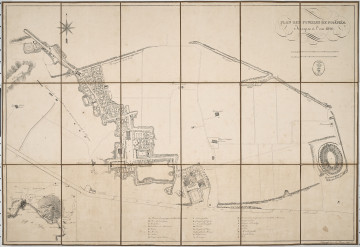
Plan des Fouilles de Pompeia
1826
Castle Museum in Łańcut
Part of the collection: Cartography
The 19th century was only a time of the industrial revolution, scientific and technical progress, and development of the state administration, but also the rise of people travelling the continent and beyond it. In the so-called “Century of Steam”, there was a rapid increase in the population of cities. The first cities with a population of a million appeared in Europe. This resulted in greater demand for detailed city plans and larger areas included as territorial administrative units. The publication of this map in 1904 was no accident. What do we see on it? Part of Manchuria and north Korea. Until the end of the 19th century, Manchuria was part of China, but in the early 20th century, the country experienced a serious crisis. Russia and Japan were vying for influence at the time. This ended with a war that lasted through 1904–1905. After defeating the Russians at Mukden and Port Arthur, Japan took over Manchuria. Korea was also dependent on China. In 1895, it regained its independence, and since 1897, it was an empire. As a result of, among others, the defeat of Russian, in 1910 it fell under Japanese control, which ended in 1945. The map was developed by the Institute of Military Geography in Vienna in 1904. The publisher included ports, forts, roads and railways, as well as borders of countries and provinces. The map is foldable, bound in a plain cover. The Counts Potocki – like most Polish aristocrats – travelled extensively, hence a large collection of plans and maps has survived. Łukasz Chrobak
Author / creator
Object type
Cartography
Technique
flat print
Material
paper
Creation time / dating
Creation / finding place
Owner
Castle Museum in Łańcut
Identification number
Location / status

1826
Castle Museum in Łańcut

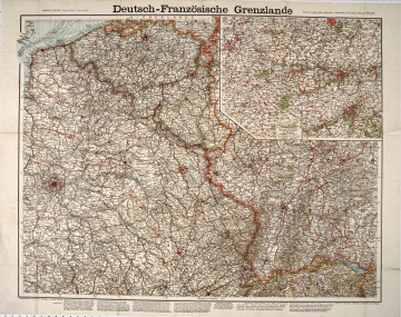
1914
Castle Museum in Łańcut

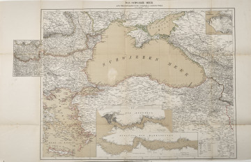
1877
Castle Museum in Łańcut
DISCOVER this TOPIC
Castle Museum in Łańcut
DISCOVER this PATH
Educational path