Physical globe of the Earth
1924 — 1931
National Museum in Lublin
Part of the collection: Polish globes of Earth 19th–1st half of the 20th c.
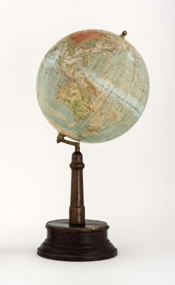
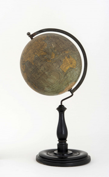
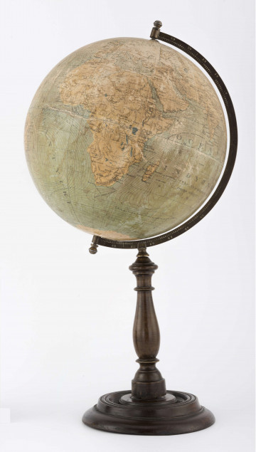
A small political globe of the Earth from 1938, by Professor Eugeniusz Romer, scale 1:100 million, is a very rare piece. The scientific study and printing were made by the joint stock company ‘Książnica-Atlas’ Lviv-Warsaw and the Cartographic Institute of E. Romer. Due to the small scale, the cartographic content has been kept to a minimum. According to the map legend, capitals and other cities were marked. The name POLSKA was inserted, but the capital was only described with the abbreviation War. The areas of each country are marked in different colours – Poland in red. The hydrographic elements are in black. The changes of names were not always respected on the map – the place name Konstantynopol is still on the globe, despite the fact that in 1930 it was renamed as Istanbul (Polish Stambuł).
The globe, with a map by Professor Eugeniusz Romer, is a second edition (the first one was in 1935), not fully disseminated, published by Książnica-Atlas in Lviv. The shape of the globe depends on the technical accessories, i.e., the pedestal and ‘arm’ supporting the globe. The unusual feature of the globe is the way it is attached to the arm by a wire, and not as in the ‘Viteź’ models issued in 1935 in the same scale that were equipped with a casted arm. Both the first as well as the second series of globes were made with maps glued on a metal sphere, which distinguishes them not only among Lviv globes, but also from all the other Polish-language globes. By a lucky coincidence, the globe survived World War II thanks to Professor Franciszek Uhorczak, a former employee of the Cartographic Institute in Lviv. In 1982, it was donated to the Wincenty Pol Museum by Helena Uhorczakowa. It was exhibited at many exhibitions in Lublin (the Wincenty Pol Museum), Krakow (the Jagiellonian University Museum Collegium Maius) and in Warsaw (the Geodetic Museum).
Grażyna Połuszejko
Author / creator
Dimensions
cały obiekt: width: 26 cm
Object type
globe
Technique
gluing
Material
paper, metal, wood
Creation time / dating
Creation / finding place
Owner
The National Museum in Lublin
Identification number
Location / status

1924 — 1931
National Museum in Lublin

1920
National Museum in Lublin

1920 — 1927
National Museum in Lublin
DISCOVER this TOPIC
Museum of King Jan III's Palace at Wilanów
DISCOVER this PATH
Educational path