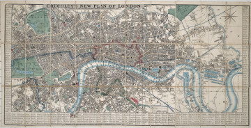
New Plan of London
1845
Castle Museum in Łańcut
Part of the collection: Cartography
The Kingdom of Poland of 1815–1832 was also known as Congress Poland. The latter name came from the Congress of Vienna in 1814–1815, where the establishment of a Kingdom of Poland under strong Russian control was agreed upon. From 1832 until 1917, the Kingdom was linked with the Russian Empire by a union. The map was published in 1863 by the famous German publisher Verlag Dietrich in Berlin. Since the 1860s, the publishing house specialised in professional maps and globes, based on the latest technology and scientific research. The collection of the Łańcut Museum includes maps which are souvenirs from the numerous travels of the Counts Potocki. This is one of those cases. The map is foldable and can be stored in a thin paper cover. The map was purchased in Jan Milikowski’s bookshop in Lviv. This extremely interesting bookshop imported emigré publications in the 1830s and 1840s, and sold the latest books to the Ossoliński National Institute in Lviv, for which Milikowski was subject to Austrian repressions. Łukasz Chrobak
Author / creator
Object type
Cartography
Technique
flat print
Material
paper, paint
Creation time / dating
Creation / finding place
Owner
Castle Museum in Łańcut
Identification number
Location / status

1845
Castle Museum in Łańcut

19th / 20th century
Castle Museum in Łańcut

19th (?) century
Castle Museum in Łańcut
DISCOVER this TOPIC
National Museum in Lublin
DISCOVER this PATH
Educational path