Physical globe of the Earth
1924 — 1931
National Museum in Lublin
Part of the collection: Polish globes of Earth 19th–1st half of the 20th c.
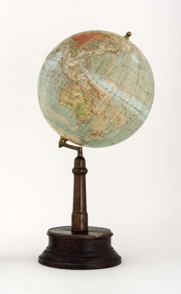
The physical globe of Earth in the collection of the Wincent Pol’s Manor is the first object issued after the World War II. The authors of the map are Gustaw Wuttke (1887-1975) – a geographer, versatile educator, ministerial instructor, constructor (he designed and himself made 96 teaching aids, 24 of which went into production and school use) – and Andrzej Lorentski (1914-1988), an author of school textbooks, and a geographer and cartographer. Considering the destruction of teaching aids during the war, when the entire production of the Lviv publishing house Książnica-Atlas – atlases, maps and globes – was destroyed after the Russians entered Lviv on September 17th, 1939, it became necessary to equip Polish schools with basic teaching aids.
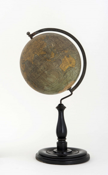
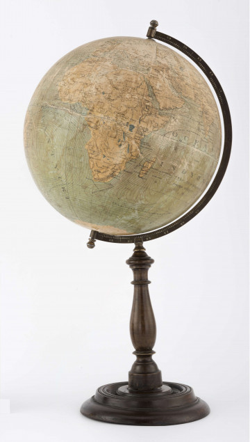
The 1946 globe has a physical content (scale 1:40 million). The shape of the Earth’s surface (hypsometry), presented in colours from green to red, does not relate to the pre-war globes of Eugeniusz Romer. Itis marked by: depression, 0, 200, 500, 1000, 2000, 4000, 6000, and the depth by isolines: 0, 200, 2000, 4000, 6000. What is important is the replacement of the 300 m level indicator used by Romer with a 200 m one, which contributed to the enlargement of upland areas within the range of 200-500 m. The remaining content of the map is not very rich, it is limited to the largest rivers (in Poland – Vistula and Odra), canals, lakes, wetlands and desert areas, and capitals and – depending on the space available – major cities (in Poland – Warsaw and Krakow). In the oceans, sea currents are included, marked with black lines and names. In reference to historical globes, it was equipped with a 360-degree meridian circle. The ball was mounted on a wooden roller leg and a wooden base. The globe was donated to the museum in 1983 by the management of the Primary School in Wola Skromowska. A year later, Jan Lipkowski from Radom donated a second copy of this edition.
Grażyna Połuszejko
Author / creator
Dimensions
cały obiekt: width: 63 cm
Object type
globe
Technique
gluing
Material
paper, cardboard, metal, wood
Creation time / dating
Creation / finding place
Owner
The National Museum in Lublin
Identification number
Location / status

1924 — 1931
National Museum in Lublin

1920
National Museum in Lublin

1920 — 1927
National Museum in Lublin
DISCOVER this TOPIC
Castle Museum in Łańcut
DISCOVER this PATH
Educational path