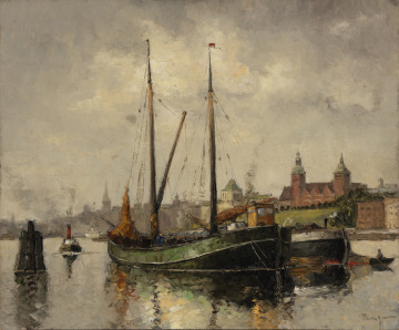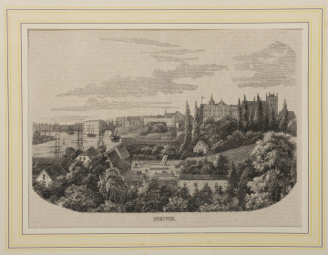
Panorama of the Oder River viewed from Hakenterrasse (at present Wały Chrobrego)
około 1915
National Museum in Szczecin
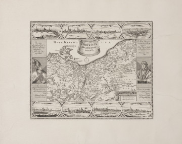
Part of the collections: Iconography of Szczecin in the 17th-19th centuries, Historic cartography
One of the important elements contributing to the development of the city is its integration into the local and national transport network. In the nineteenth century, rail transport became increasingly popular, making it possible to travel quickly and safely within an agglomeration, but also over longer distances. The railway revolutionised land transport by providing mass passenger and freight traffic. Incorporating Szczecin into the rail transport network has increased the city's attractiveness and its competitiveness in relation to other urban centres. Although the laying of the tracks and the construction of the station in the planned location required spatial transformations, the first train on route from Berlin to Szczecin left as early as 1843. Over time, railway lines also began to connect the city's various districts. In 1983, the Royal Railway Directorate in Berlin developed a project to extend the rail link in a northerly direction as far as Police. However, the construction of the ring line Szczecin Główny – Jasienica was not carried out until 1896-1898. After 1898, the line began to be developed with new railway sidings at the industrial plants located along the Odra River. This coloured plan of Szczecin from 1894 shows the planned single-track railway line encircling the city from the west and running in a northerly direction and its extension through Łasztown (Lastadie) and Dąbie (Altdamm), with the districts comprising the agglomeration marked, the Odra River with its two branches: Duńczyca and Parnica. The map also illustrates the direction of downtown development at the time – filling the western part of the city with multi-family buildings in the form of townhouses. At Łasztownia, the outlines of the former forts can still be seen, but a blueprint for the future free port has already been added. Małgorzata Peszko
Author / creator
Object type
city map
Technique
colour printing
Material
cardboard
Origin / acquisition method
donation
Creation time / dating
Creation / finding place
Owner
Muzeum Narodowe w Szczecinie
Identification number
Location / status

około 1915
National Museum in Szczecin

1890 — 1910
National Museum in Szczecin

1720 — 1736
National Museum in Szczecin
DISCOVER this TOPIC
National Museum in Lublin
DISCOVER this PATH
Educational path